

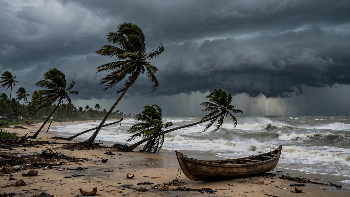
Cyclone Akvan formed over the Bay of Bengal on Monday evening and is heading for the Andhra Pradesh coast, where it is expected to make landfall on Friday with winds of up to 145 kmph.
The storm is the third to threaten the state in three weeks. It arrives while Andhra Pradesh is still counting the cost of the last two, with flattened crops, broken power lines and damage running into thousands of crores of rupees.
Key Points
- Cyclone Akvan formed on Monday evening, 16 November, when a deep depression over the Bay of Bengal strengthened into a cyclonic storm.
- The India Meteorological Department (IMD) expects it to become a severe cyclonic storm by Tuesday evening and a very severe cyclonic storm by the night of Thursday, 19 November.
- It is forecast to cross the Andhra Pradesh and Yanam coasts between Nellore and Tuni around noon on Friday, 20 November, with sustained winds of 120-130 kmph and gusts reaching 145 kmph.
- Heavy to very heavy rain is forecast for coastal Andhra Pradesh and Yanam on 19 and 20 November, with isolated extremely heavy falls in the north of the coast.
- Fishermen have been told to stay ashore, and Odisha has put all 30 of its districts on alert.
What happened
The system began as a low-pressure area over the southeast Bay of Bengal on 13 November. It became a depression on 15 November and then a deep depression, moving north-northwest at about 6 to 10 kmph.
In its bulletin at 5.30 pm on Monday, the IMD said the deep depression had strengthened into a cyclonic storm. At that point it was about 610 km east of Chennai and 660 km southeast of Machilipatnam in Andhra Pradesh. With that step up in strength, the storm took its name: Akvan.
The name comes from Iran’s turn on the shared list of cyclone names kept for the Bay of Bengal and the Arabian Sea under the World Meteorological Organization. Akvan also appears in Persian mythology as Akvan-e Div, a figure in the epic Shahnameh.
Why it matters
Andhra Pradesh has had little time to recover. October brought the first of the pair: Arnab struck on the 28th. Murasu came next, on 2-3 November. Together they flattened standing crops across more than 4.5 lakh hectares, uprooted trees and cut power and phone lines along the coast.
The two storms together caused damage estimated at nearly Rs 7,000 crore, and on Sunday Chief Minister N. Chandrababu Naidu asked the central government for immediate help with relief and rebuilding.
Odisha, next door, also suffered. At least 11 people were killed and six were still missing after Cyclone Arnab, most of them in landslides in Ganjam and Kandhamal districts. The state has now told all 30 of its districts to prepare, and officials in Ganjam have begun moving people out of low-lying and landslide-prone areas before the rain arrives.
The rain has already started in the south. In the 24 hours to 5.30 am on Monday, Tuticorin in Tamil Nadu recorded 20 mm, while Nagercoil and Kanyakumari each had 10 mm. Chennai and its neighbouring districts can expect heavy rain from Tuesday, with thunderstorms, lightning and gusts of 40-50 kmph.
What happens next
The IMD expects Akvan to become a severe cyclonic storm by Tuesday evening and to keep strengthening as it moves towards the coast. By the night of Thursday, 19 November, it should be a very severe cyclonic storm, and it is forecast to cross the coast between Nellore and Tuni around noon on Friday.
The heaviest rain is expected on Thursday and Friday. Coastal Andhra Pradesh and Yanam face heavy to very heavy rain, with isolated falls of 21 cm or more in the north of the coast. Odisha can expect heavy to very heavy rain from 19 to 21 November, and heavy rain is also forecast for parts of West Bengal.
Chennai has an orange alert for 18 and 19 November, with heavy rain, thunderstorms and gusts of 40-50 kmph. A yellow alert covers Kancheepuram, Ranipet, Tiruvannamalai, Villupuram, Cuddalore and Mayiladuthurai, and Puducherry.
Fishermen have been told not to venture into the southwest Bay of Bengal until 19 November, the central Bay until 20 November and the northwest Bay on 19 and 20 November. Those already at sea have been told to return to the coast. The sea along the Andhra Pradesh coast is expected to turn rough to very rough, and the IMD has warned of phenomenal sea conditions from the evening of 19 November into the morning of 20 November.
The exact landfall point can still shift. The IMD has so far held to the stretch between Nellore and Tuni, but some private forecasters have suggested the storm could track further south, towards the Tamil Nadu coast between Chennai and Cuddalore. Fresh bulletins over the next day should narrow the forecast down.
The storm is building as India’s prime minister, Narendra Modi, is in Manila for the ASEAN and East Asia summits, with the first Quad leaders’ meeting in two years also due in the Philippine capital on Tuesday evening.
In India, the storm arrives days after the national cricket team sealed a one-day series win over New Zealand.
Sources: India Meteorological Department; Press Trust of India; The Economic Times; The Federal; DT Next; NDTV Profit; Mathrubhumi; Ada Derana; The Hindu.
Time: 17 November 2026, 07:00 +08 (Asia/Kuala Lumpur).